PLAN YOUR DREAM VACATION
Chicago visitors, everything you need to know to make your vacation special is right here at your fingertips. Which airport is most convenient? Where will I go for groceries? How do I take public transit? These questions and many more are answered here.
TRAVELING TO CHICAGO
Chicago, the largest city in the Midwest, lies in the heart of the United States. That makes getting here a breeze, no matter how you like to travel. Explore options by plane, car, train, and more.
Getting here by plane
Chicago is home to two international airports conveniently located in the center of the country, with thousands of daily inbound and outbound flights to more than 240 destinations.
Chicago O’Hare International Airport
Multi-award-winning, environmentally conscious O’Hare (ORD) is one of the largest airports in the world. It lies just 16 miles from downtown Chicago and boasts four terminals — three domestic (Terminals 1, 2 and 3) and one international (Terminal 5).
Chicago Midway International Airport
Midway (MDW) is the nation’s premier point-to-point airport, offering value-oriented leisure and business travel to over 60 destinations. It’s located only 11 miles from downtown Chicago.
Gary/Chicago International Airport
A member of the Chicago Department of Aviation, Gary/Chicago International Airport (GYY) is a full-service airport used for private aviation. Located just 25 miles from downtown Chicago, it’s a convenient location for corporate and weekend flyers entering the Chicago metropolitan region.
REAL ID
All Americans traveling by air will need a REAL ID or another accepted form of identification to board a flight within the U.S. on and after May 7, 2025. A traditional driver’s license will no longer be accepted through airport security. Domestic travelers may use:
- REAL ID (generally marked with a star in the upper portion of the card)
- U.S. passport or passport card
- U.S. military ID
- DHS trusted traveler cards (Global Entry, NEXUS, SENTRI, FAST)
- Enhanced driver’s licenses (offered in MI, MN, NY, VT and WA. Generally marked with U.S. flag)
Learn more about REAL ID and how to get one.
Transportation to/from O’Hare and Midway
Both O’Hare and Midway are within easy reach of downtown Chicago.
- The Chicago Transit Authority (CTA) Blue Line ‘L’ Train, which runs 24/7, connects directly to O’Hare. The CTA Orange Line ‘L’ Train connects directly to Midway. See maps and fares.
- Taxi, Lyft, and Uber pick-up points are available at both airports. Alternatively, you can e-hail and e-pay with CHICABS-approved apps ARRO and CURB. Credit cards are accepted in all taxis. For on-demand ride-sharing, download your free Lyft and/or Uber app. Simply enter your current location and destination, review fare options, and request your ride.
- GO Airport Express provides shared ride services to all downtown/suburban hotels.
- Numerous car rental companies have facilities at both O’Hare and Midway airports.
- Find limousine and chauffeur services for your stay in Chicago.
Flight resources
- Access parking, flight status, amenities, and terminal maps for both O’Hare and Midway airports at flychicago.com.
- Get average domestic and international flight times to Chicago.
- Get Transportation Security Administration (TSA) security regulation information.
- Find airlines that fly into Chicago.
Getting here by car
Chicago’s central location and its position as a hub for the nation’s major interstates make it a convenient drive from anywhere in the country. Chicago is accessible via several major interstates and highways: I-90 (Kennedy Expressway), I-94 (Dan Ryan Expressway), I-55 (Stevenson Expressway), I-290 (Eisenhower Expressway), and I-294 (Tri-State Tollway).
View an interactive parking map of downtown Chicago to search for public parking lots and garages by address and points of interest.
Want to pay for parking in advance? Find the perfect Chicago parking spot by comparing price, location, and amenities. Reserve your spot now with Parking.com, iParkit, Millennium Garages, or SpotHero.
Find average drive times to Chicago. And find traffic and road conditions from the Illinois Department of Transportation.
Getting here by bus
Total Charter Bus Chicago
If you’re headed to Chicago from a Midwestern metropolis like Detroit, Indianapolis, or St. Louis, catch a leisurely ride on a private charter bus. Charter buses include free WiFi, reclining seats, panoramic windows, and plenty of legroom. Find a private charter bus.
Greyhound Lines, Inc.
Greyhound has five Chicagoland locations, including two 24-hour stations and 20 express routes to major U.S. cities. Find Greyhound stations.
Megabus.com
Megabus is a budget-friendly, city-to-city service. Find Megabus stations and rates.
Getting here by train
Chicago’s iconic Union Station serves both Amtrak and Metra, the city’s commuter rail service. Originally designed by Daniel Burnham and completed by Graham, Anderson, Probst and White, Union Station is a glowing expression of Chicago’s status as a national railroad hub, and remains a treasured part of the city’s history.
Additionally, the Richard B. Ogilvie Transportation Center in downtown Chicago serves the three commuter rail lines of Metra’s Union Pacific District, which approach the terminal elevated above street level. There are also two Metra stations in the Loop: Millennium Station on the Metra Electric District line and Lasalle Street Station on the Rock Island District Line.
Amtrak
With 21,000 miles of routes across the United States and Canada, Amtrak offers more than 300 high-speed trains to more than 500 destinations daily. Find Amtrak routes and fares.
Metra Rail
The high-speed Metra commuter rail train connects outlying suburbs to downtown Chicago, and is a fast and easy way to travel to the heart of the city. Find fares and route maps.
South Shore Line
South Shore Line serves Chicago through Northern Indiana to the South Bend Airport. Call (219) 874-4221 ext. 245 for group rates. Find South Shore Line routes and fares.
Getting here by private motorcoach
Want to prepay and reserve a space for your motorcoach? Prepay online for the McCormick Place Marshalling Yard located at 31st and Lake Shore Drive or the 18th Street Lot at 18th Street and Lake Shore Drive. Additional motorcoach parking options include Lincoln Park Zoo, Soldier Field/Museum Campus, and the Museum of Science and Industry. Learn more and reserve spaces.
Download the Chicago Motorcoach Loading Zones and Parking Map.
Chicago traffic and construction updates
Check out the latest traffic and construction updates:
GETTING AROUND CHICAGO
From Chicago public transit to walking the city’s many neighborhoods, here’s your A to Z for getting from A to B.
Accessibility
Our accessibility guide has details on getting around Chicago by train, bus, taxi, and more for those with disabilities and/or mobility devices.
Chicago’s street system
Chicago’s streets are organized on a grid system. Madison Street divides the city north and south, while State Street divides it east and west. The State and Madison intersection in downtown Chicago marks the starting point of Chicago’s grid system. Addresses are relative to the distance from this point, with eight blocks to every mile. So, an address of 3600 N. Clark St. means that it is 36 blocks north of Madison Street.
Chicago is an extremely walkable city, from our downtown to our vibrant neighborhoods. Explore this map of pedestrian-friendly streets for the best areas to explore by foot.
Chicago Transit Authority (CTA)

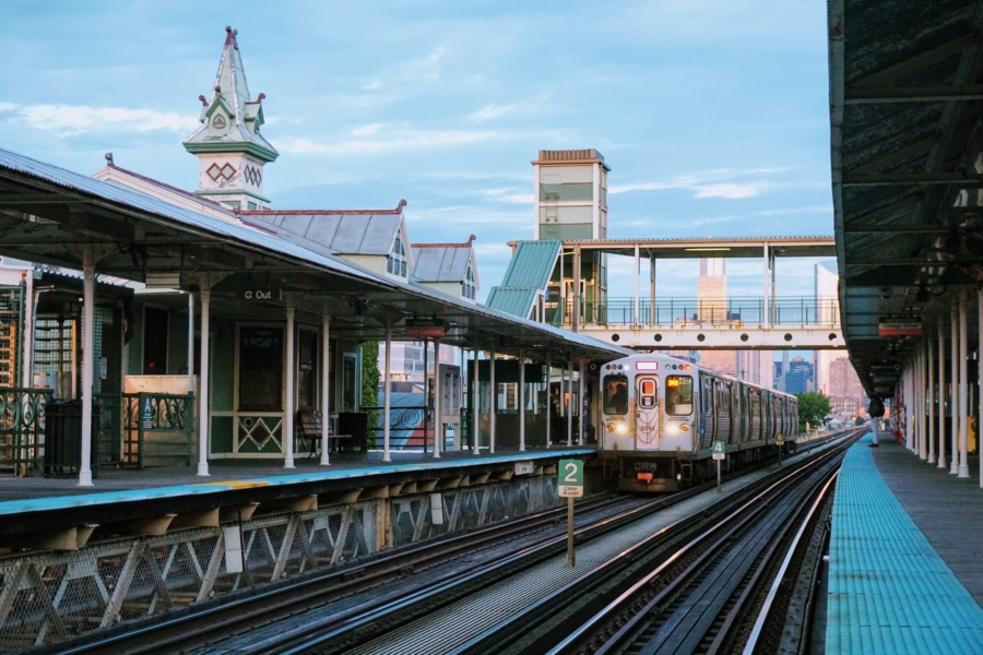
The nation’s second largest public transportation system, the CTA operates Chicago’s eight ‘L’ train lines and 129 bus routes.
Not all of the system’s train lines are elevated (which is where the term ‘L’ comes from). They do, however, connect the city via above-ground, street-level, and subway trains, and serve 145 rail stations all over town. Two lines operate 24/7: the Blue Line, which connects Chicago O’Hare International Airport and downtown, and the Red Line, with service between the North and South Sides via downtown.
Convenient CTA bus routes travel throughout the city, with stops every few blocks. Several lines offer Night Owl service, running until 2 a.m. or later. Get more information about extended hours of service.
Pay cash for single trip bus rides or purchase a reloadable Ventra Transit Card or Unlimited Ride Pass for both travel by ‘L’ train and bus. Tip: Download the Ventra app to track arrival/departure times for CTA buses and ‘L’ trains, and to reload your balance on the go. Find CTA fares, card retailers, maps, schedules, and train trackers.
Metra Rail
The high-speed Metra commuter rail train connects outlying suburbs to downtown Chicago, and is a fast and easy way to travel to the heart of the city. Find fares and route maps.
Taxis
In addition to hailing taxis throughout the city, you can e-hail and e-pay with CHICABS-approved apps ARRO and CURB. Credit cards are accepted in all taxis.
Ridesharing
Download your free Lyft and/or Uber app for on-demand ridesharing throughout the city. Simply enter your current location and destination, review fare options, and request your ride.
Water taxis

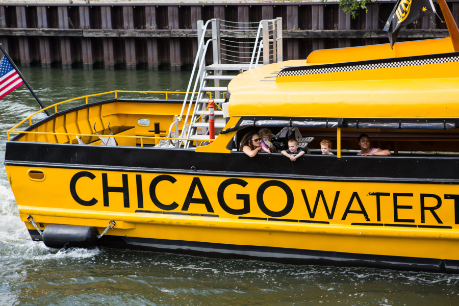
Chicago Water Taxi by Wendella Boats and Shoreline Water Taxi by Shoreline Sightseeing offer fast, affordable, and fun connections between Chicago’s top tourist destinations, and are the perfect combination of sightseeing and transport. Destinations include Chinatown, Museum Campus, Willis Tower, Michigan Avenue, Union Station, and Navy Pier. Find Chicago Water Taxi and Shoreline Water Taxi fares and route maps.
Shuttles and Limo service
Traveling with a large group or are simply looking to travel in style? Find shuttle and limousine services.
Biking

Chicago is a city made for cycling. There are over 200 miles of protected bike lanes, buffered bike lanes, conventional bike lanes, dashed/advisory lanes, marked shared lanes, and neighborhood bike routes throughout the city.
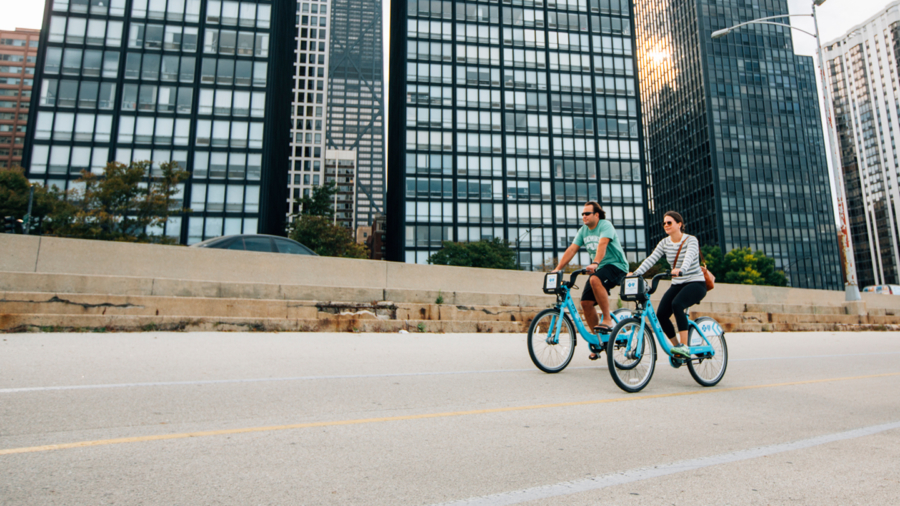
Divvy, Chicago’s bike-share program, offers over 580 stations and 5,800 bikes across the city, available for rent 24/7. Users simply pick up a bike from a self-service docking station and return it to a station near their destination. Find Divvy locations and rates. Get the Divvy app: Android and iOS.
Driving
Driving in downtown Chicago? Here are some useful resources and apps:
- Interactive map of public parking facilities in downtown Chicago.
- iParkit: Allows you to reserve a guaranteed parking spot.
- Parking.com: Search for parking, compare options, and reserve a spot at the lowest rate, guaranteed.
- Millennium Garages: Visit the site for pre-purchase and drive-up rates.
- ParkChicago: Allows you to create an account linked to your car’s license plate; then you can enter the zone number on any Chicago street meter car parking sign to pay.
- SpotHero: Parking spots across the city accessible from your phone.
Check out road rules here. And find traffic and road conditions from the Illinois Department of Transportation.
